Historical Elevation Maps
2024
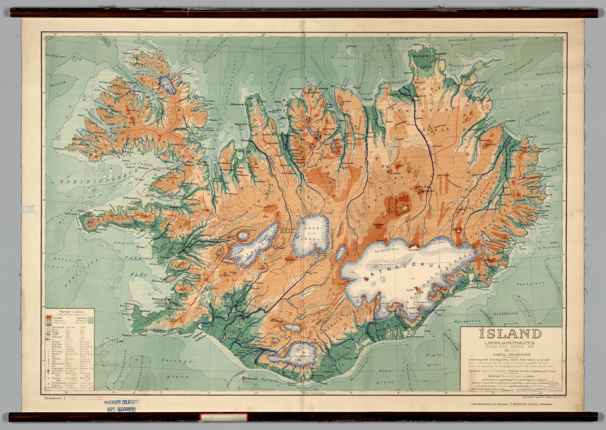
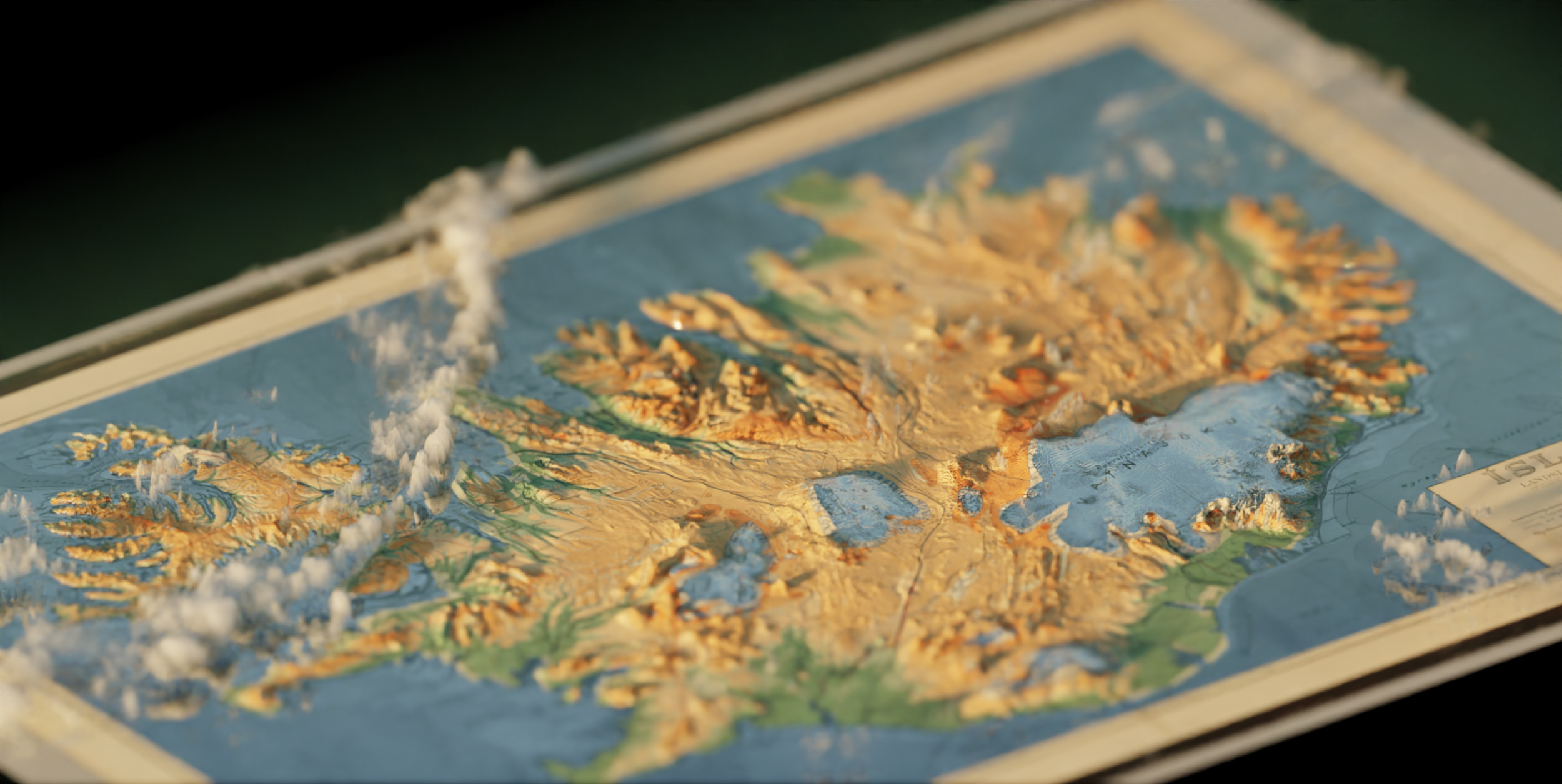
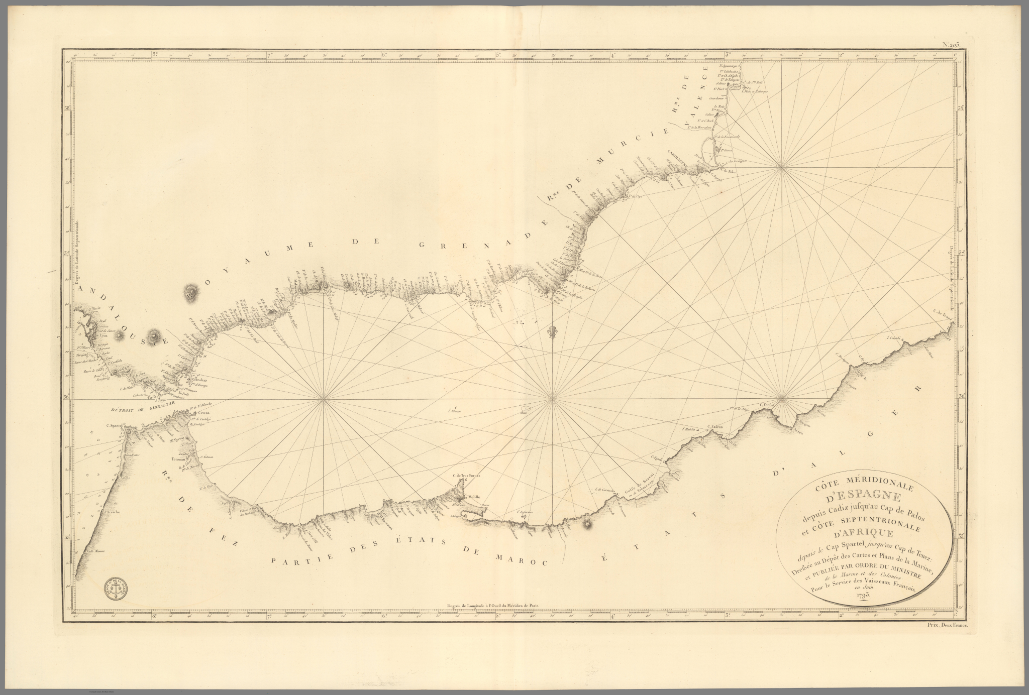
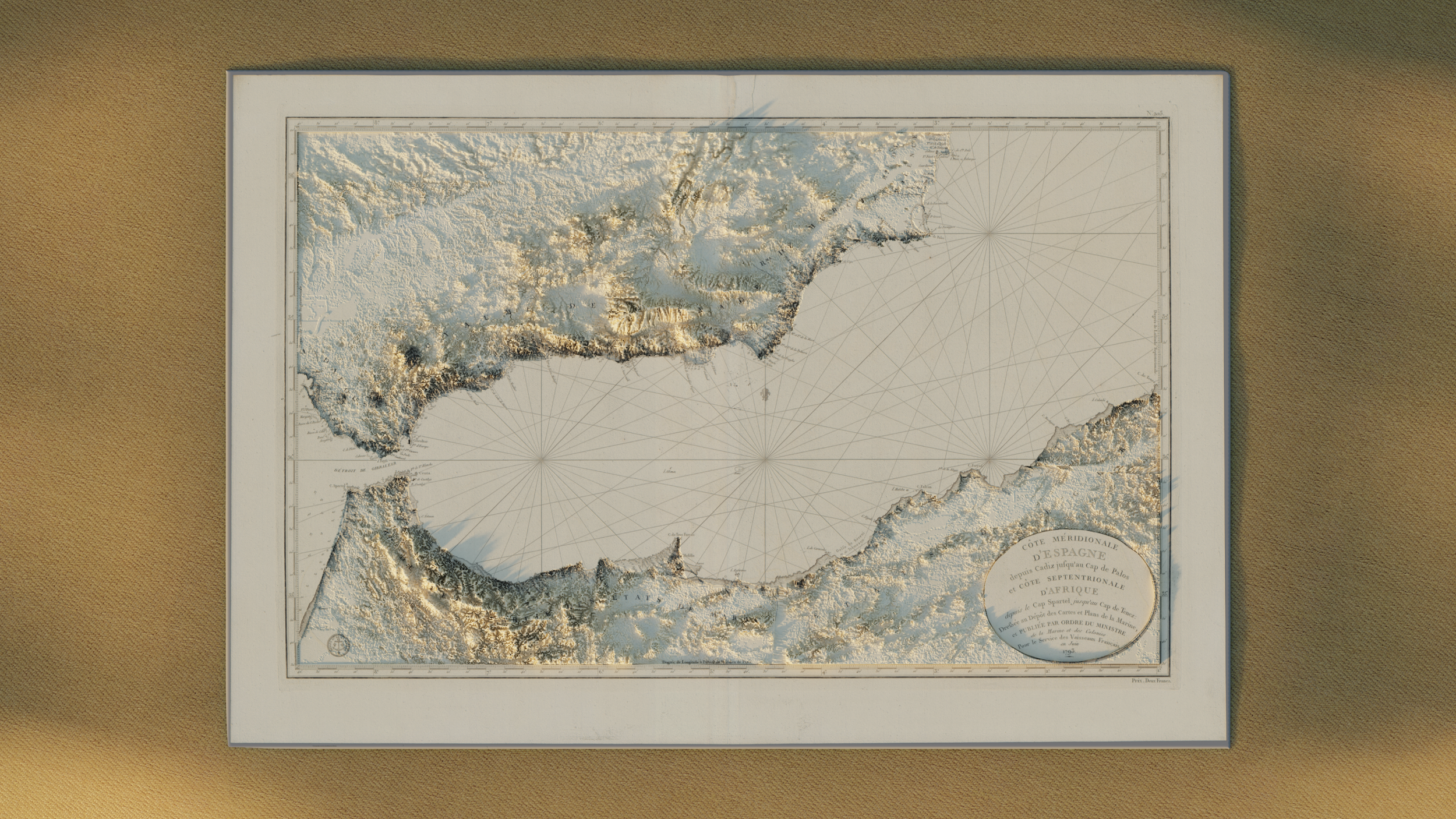
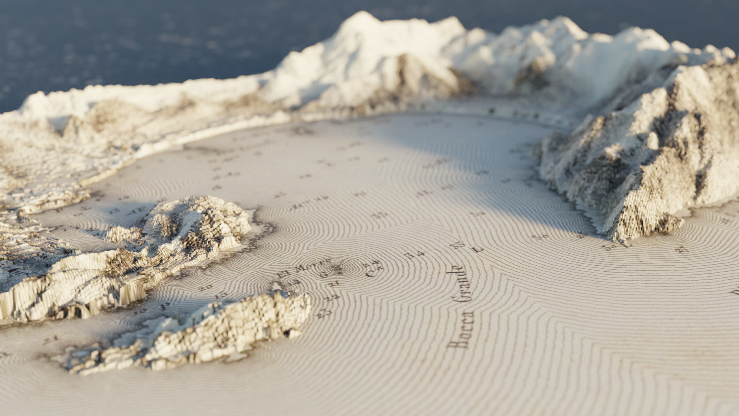
Inspired by my passion for historical maps, I developed a project that merges the intricate aesthetics of old cartography with modern-day elevation data from the Copernicus satellite. Through a process of trial and error, I was able to map current topographic information onto these vintage maps, giving them a whole new dimension and bringing them to life in a novel way.
This project required patience and experimentation, blending the detailed artistry of historical maps with cutting-edge data visualization. The result is a fusion of the old and new, where elegant lines meet real-world elevation data, creating a unique visual experience.
